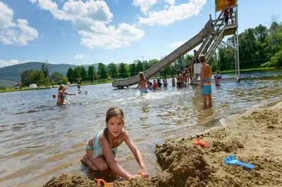
The 95.3-km, 14-segment trail network in the Charlevoix region forms part of the backbone of the Trans Canada Trail and Québec’s National Trail. Its mission is to make the forest accessible for the general public and provide an affordable activity promoting a healthy lifestyle.
Réseau de Sentiers de la MRC de Charlevoix
Location
4, place de l'Église, Baie-Saint-Paul, Quebec, Canada, G3Z1T2
Get directions
Get directions
47.44021900, -70.50615100
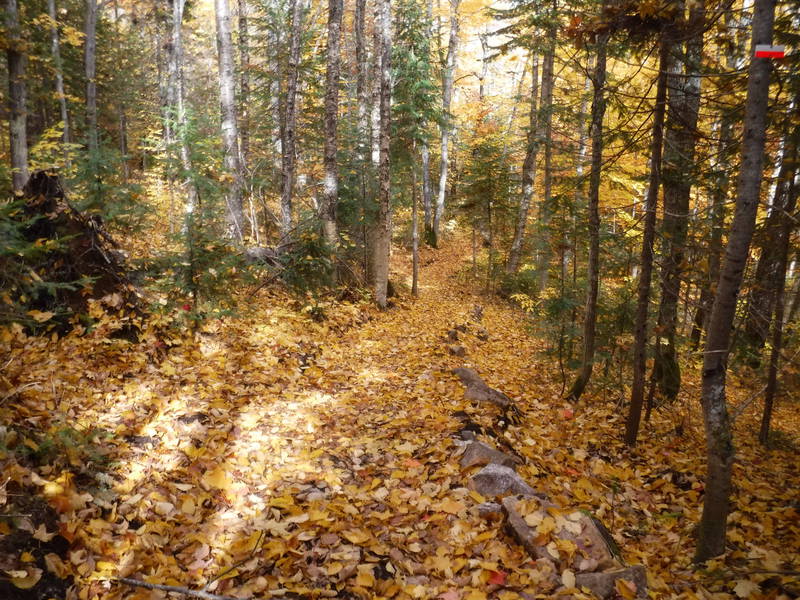
Automne - Sentier de la Baie © R.Allard

Automne - Du Paysan Les Éboulements © R.Allard
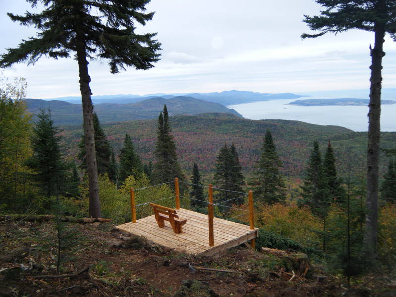
Belvédère - Sentier Gabrielle-Roy-Ouest © R.Allard
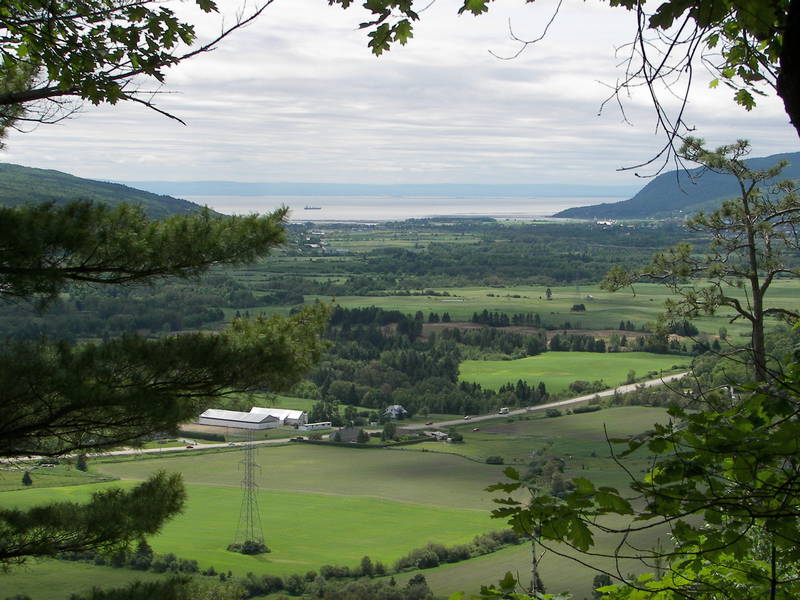
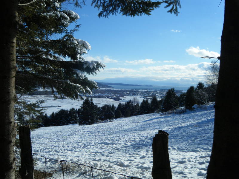
Vue de Baie-Saint-Paul du sentier Les Florents © R.Allard

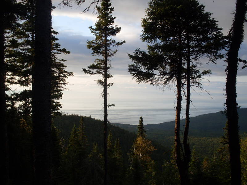
Vue sur le Fleuve St-Laurent - Sentier de la Baie © R.Allard
Hiver - Sentier Gabrielle-Roy-Est © R.Allard
Été - Sentier Gabrielle-Roy-Est © R.Allard
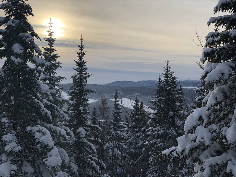
Hiver - Sentier du Gouffre © R.Allard
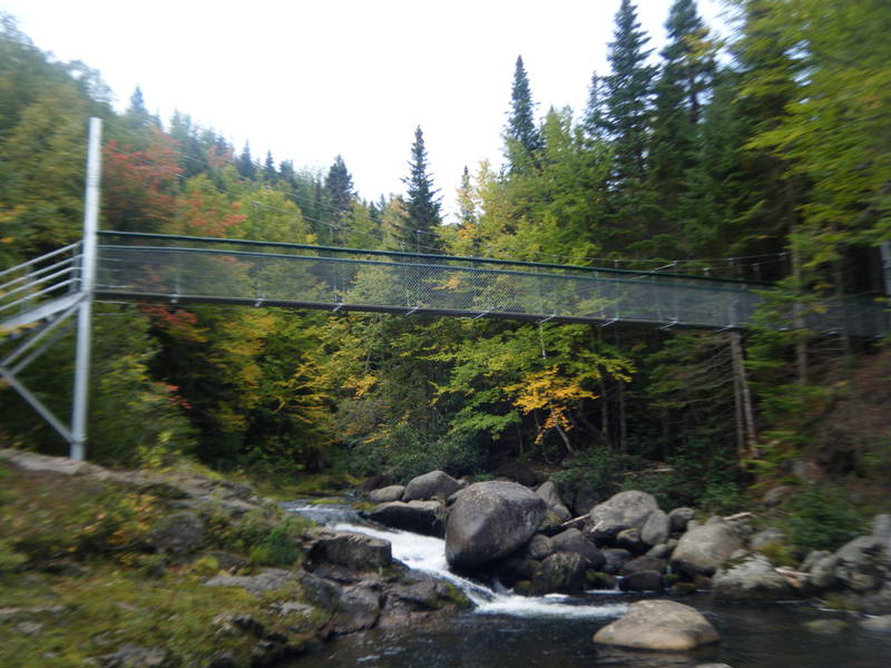
Passerelle suspendue - Sentier Louise-Gasnier © R.Allard


Outdoor activities
Hiking : 95,3 km
Winter activities
Snowshoeing : 95,3 km
Cross-country skiing : 95,3 km
Services
Pets allowed
Documentation / publications
Drinking water
Panoramic view / lookout
Restaurant and food services
Restaurant on premises
Picnic area
Accommodation services
Camping accommodation
Lodging on the premises
Facilities
Linear length of the trails : 95,3 km
Wilderness skiing : 95,3 km
Vehicle and Parking Services
Free outdoor parking
Thematics
You could also like
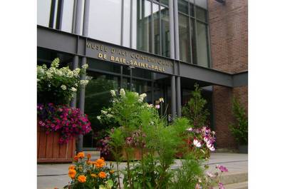
Musée d’art contemporain de Baie-Saint-Paul
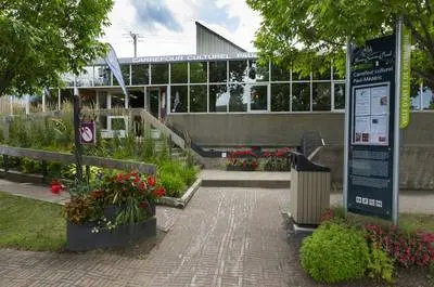
Carrefour culturel Paul-Médéric
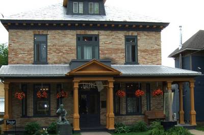
Galerie d’art Yvon Desgagnés
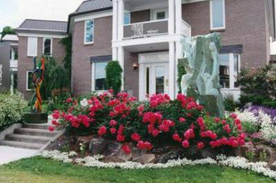
Galerie Art et Style Inc.
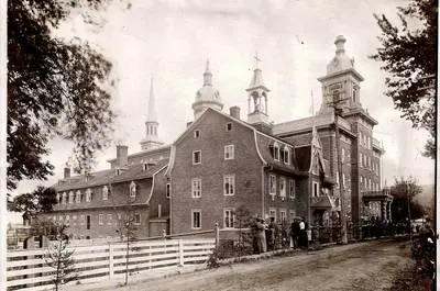
Parcours muséal des Petites Franciscaines de Marie – Maison Mère Baie-Saint-Paul

Chocolaterie Cynthia
Galerie Diamant
Galerie L’Harmattan Inc.
Atelier-galerie Pierre-Gilles Martin et Carole Tanguay
Galerie Guylaine Fournier
Le Genévrier
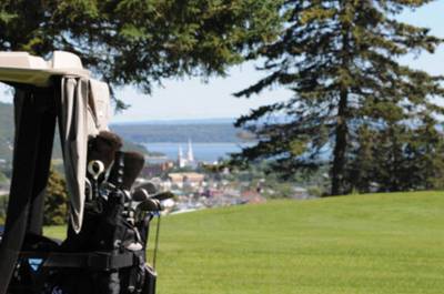
Golf Baie-Saint-Paul